Location by phone call
Supervisors interrupt work to ask where people are, and the answer is soon outdated.
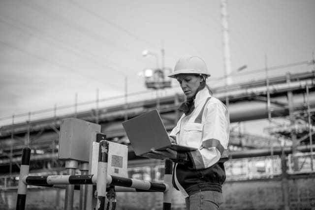
Give supervisors a current view of mobile teams during the shift.
Overview
When teams are spread across a city or a region, supervisors need to know where everyone is to dispatch work, respond to emergencies and account for time. Live GPS tracking on workers' devices gives that visibility without constant phone calls.
Mobile teams, such as response officers, technicians, inspectors and patrol units, move between locations all day. Supervisors usually find out where people are by calling them, which interrupts work and gives an answer that may already be out of date. When an urgent job comes in, the nearest available person is a guess. When a worker gets into trouble, nobody knows exactly where to send help. GPS tracking on rugged phones, shown on a live map alongside status and communication, solves all three problems with one view.
A facilities company runs 40 mobile technicians across Johannesburg. At 11:20 a client reports a burst pipe in a server room. The dispatcher opens the live map, filters for plumbers who are available and sees the closest one 2.5km away. The job is assigned to the technician's phone, and the dispatcher talks to them over push-to-talk. The client receives an arrival estimate. Later that afternoon, a technician on a remote site triggers an SOS from the same device, and the control room sees the exact location immediately.
The challenge
Supervisors interrupt work to ask where people are, and the answer is soon outdated.
Urgent jobs go to whoever answers first, not the closest available person.
When a worker needs help, nobody knows exactly where to send it.
Travel time, site visits and overtime cannot be verified.
Operational flow
01
Issue rugged phones with location sharing enabled by policy.
02
See every worker's position and status on a single map.
03
Assign jobs to the closest available person and communicate by push-to-talk.
04
SOS and lone-worker alerts share the worker's exact location with the control room.
05
Location history supports time verification, route review and reporting.
What operations can see
Operational impact
Who it's for
Dispatch the nearest technician and reduce response times.
Coordinate armed response and patrol vehicles in real time.
Track inspectors and officials across large areas.
Balance productivity, accountability and worker safety from one view.
Insight
Live GPS tracking makes mobile teams visible and responsive. Dispatch is faster, emergencies are answered with exact locations, and time and routes can be verified. Supervisors spend less time chasing updates and more time managing the work.
This use case is particularly relevant to Cross-industry environments, but the underlying operating model can also apply wherever distributed frontline teams, vehicles, assets or facilities need stronger visibility and accountability.
FAQ
Workers carry phones or rugged devices that share their location with a central platform. Supervisors see positions and status on a live map, with history available for review.
Tracking work devices for operational and safety purposes is generally permitted when employees are informed, the purpose is clear and data is protected. Tracking can also be limited to working hours.
Yes. Dispatchers can see the closest available worker and assign jobs directly to their device, which shortens response times.
Yes. SOS and lone-worker alerts share the worker's exact location with the control room, so help can be sent quickly.

Tell us how your operation runs today and we'll show you what this looks like for your teams.