Out-of-date positions
Radio check-ins give a location that may already be wrong.
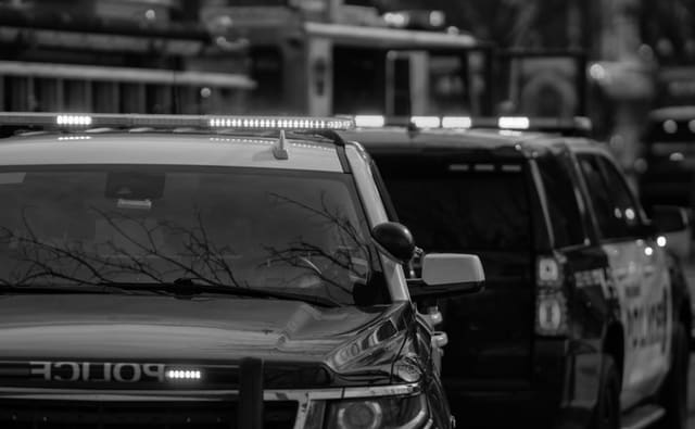
Know where response resources are before deciding who to send.
Overview
In an emergency, every minute spent finding the right vehicle is a minute lost. Live fleet tracking shows the control room where every response vehicle is and what it is doing, so the closest suitable resource can be dispatched immediately.
Many control rooms still rely on radio check-ins and whiteboards to know where ambulances, fire engines and response vehicles are. Positions are often minutes out of date, and status changes, such as a vehicle becoming available after a hospital handover, are reported late or not at all. The result is slower dispatch and vehicles sent from further away than necessary. Fleet tracking connected to the dispatch system gives controllers a live map of every vehicle, with status, crew and capability, so decisions are based on where resources actually are.
A call comes in for a cardiac arrest in a residential suburb. On the dispatch map, the controller sees three ambulances within 10km. One is closest but is marked as transporting a patient. The second is at a hospital, but its status changed to available two minutes ago. The controller dispatches it, and the crew receives the address and route on their in-vehicle tablet. The controller watches the vehicle move on the map and updates the caller with an arrival time. Afterwards, the response timeline, from call to arrival, is stored with the incident.
The challenge
Radio check-ins give a location that may already be wrong.
Vehicles become available without the control room knowing.
Without a live map, the closest suitable vehicle is often missed.
Call-to-arrival times are hard to measure and improve.
Operational flow
01
Every vehicle reports its GPS position and status continuously.
02
Controllers see all vehicles on a live map with crew, status and capability.
03
The closest suitable vehicle is assigned, with the address sent to the crew.
04
The control room follows the response and updates callers with arrival times.
05
Response times and vehicle utilisation are reported for every incident.
What operations can see
Operational impact
Who it's for
Dispatch the closest available ambulance and track every response.
See the location and status of every appliance across the region.
Send the nearest response vehicle to an alarm or panic signal.
Coordinate patrol and incident vehicles across the city.
Insight
Live fleet tracking turns the control room's view from estimated to exact. Controllers dispatch faster and more accurately, crews receive clear instructions, and every response is measured. Over time, the data supports better station placement, shift planning and fleet use.
This use case is particularly relevant to Emergency response environments, but the underlying operating model can also apply wherever distributed frontline teams, vehicles, assets or facilities need stronger visibility and accountability.
FAQ
It is GPS tracking of response vehicles shown on a live map in the control room, combined with vehicle status, so controllers can dispatch the closest suitable resource.
By showing the real location and availability of every vehicle, controllers can dispatch the closest one instead of relying on radio updates or estimates.
Yes. Tracking data can feed into computer-aided dispatch, so vehicle positions and status appear alongside incidents.
Yes. Each response is time-stamped from dispatch to arrival, which supports performance reporting and continuous improvement.

Tell us how your operation runs today and we'll show you what this looks like for your teams.